
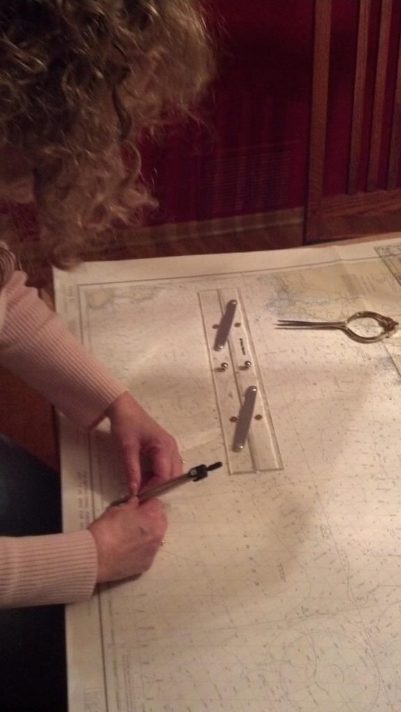
| I love the feeling you get when you accomplish something new! Tonight we got out the practice chart, dividers, chart plotter and parallel rules along with some problems. We were able to do all kinds of good stuff. Now we could apply the descriptions we have been reading about. I feel so accomplished. Part one of celestial navigation complete! |
| Brenda working a chart |
 |
| Brenda working a chart |
The sailing we have done in Door County required that we be able to read a chart so that we could avoid shallow water and unseen shoals. But we wanted to learn more about navigation. From the books we have been reading, Mike already has a good idea of what is involved. I am finally catching up. Now we can plot a course, use objects on the land to help determine our position and figure out how fast we are going without using a GPS!
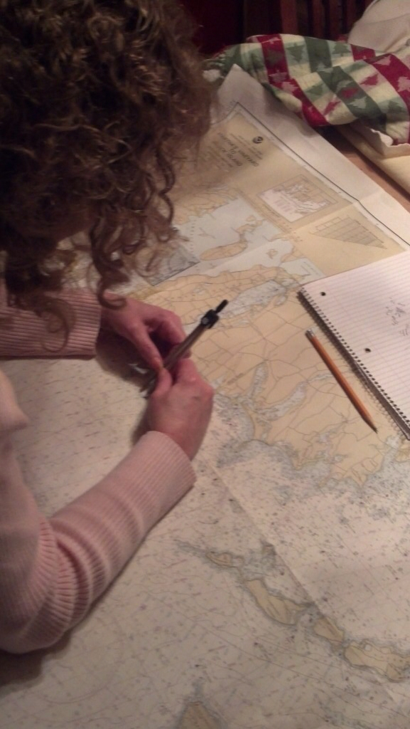
It is amazing how much information is contained on one chart. You can find your latitude and longitude to within seconds and figure out how far two points are from each other. There is a conversion chart for feet, fathoms and meters. And there is a cool chart that you can use to figure out how fast you are going! We played with the compass rose and figured out how to chart a course using both magnetic and true. Dead reckoning, bearing and line of position are words that are becoming part of our vocabulary
Mike found a site that has some practice problems (with answers), so its back to the dining room table where we can keep trying out our new skills.
No comments:
Post a Comment